February 9: Hiking in June gloom?

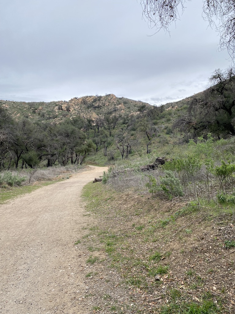
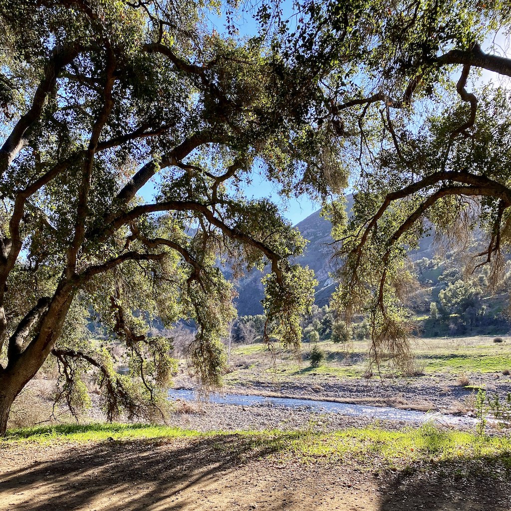
My planned valley to valley hike grows more complicated by the day. My current concern is about speed, specifically my walking speed. My original assumption was that the hike will be about 20 miles each way. Sure, it could be less but I think all in 20 miles is a good bet. So, for the last week I’ve used my iPhone to track my hiking (as opposed to walking on the street) speed.

And, it turns out that I hike slowly, right around 2.5 MPH versus the brisk 3.5 MPH I can do on a street or sidewalk. Damn those uphill sections of the trail! The problem is that depending on when I do the hike I could run out of daylight hours and that would be bad; I could even miss the cocktail hour, and we can’t have that.

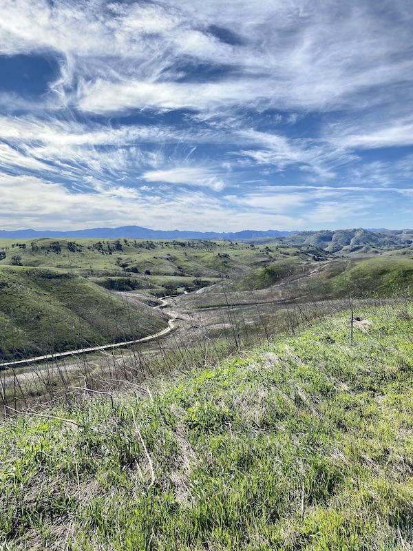
The solution might be June Gloom, those days before the 4th of July when morning hours see a dense onshore overcast spread from the Pacific to the valleys and well after the start of daylight savings time in mid-June. I would have to leave the specific dates of the hike flexible to be assured of hiking on a day with good, deep onshore flow. Even still there’s a good chance the second half of the homeward trek would be pretty warm, since the west San Fernando Valley is typically around 8 degrees warmer than the eastern Conejo. And, the cherry on the sundae is that the whole hike will be into the sun.

No matter, as of this moment June is looking better than March. All those hours of daylight and the chance of overcast until well afternoon is making the hike feel a little more doable than my depressing walking speed made a feel a day ago.

The study continues.

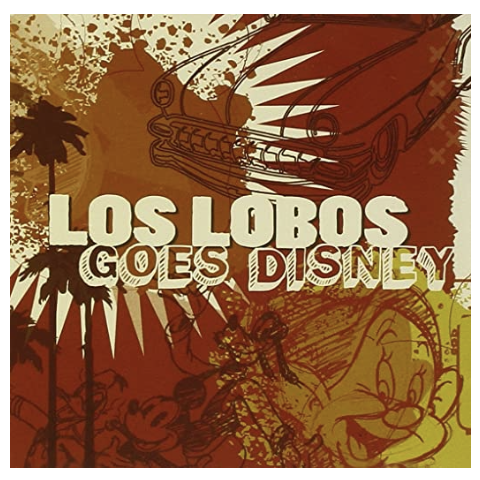
Oh yeah, my writing soundtrack tonight are two versions of Not in Nottingham. The first sung by Sean Watkins on 2015’s The Watkins Family Hour and the second done by Los Lobos from their 2009 record, Los Lobos Goes Disney.

How out of the Disney songs loop am I? I had no idea Not in Nottingham was even a Disney song. It’s pretty damn good song so I bought both.

Thanks for reading.

February 9: Hiking in June gloom?

February 5: Hill climb & pano

The winds have been blowing off & mostly on for more than a week. When we had measurable rain a while back I allowed myself a bit too much optimism, at least as regards the drought.

Now that optimism is being blown away and that’s a lousy feeling. The only benefit of Santa Anas this time of year are cloudless, scrubbed-blue skies and fantastic visibility. Even though the winds were less intense today, the skies were still quite clear.

My valley to valley hike is front of mind. I’ve been looking for a map that shows all of the fire roads in Los Angeles and Ventura counties but I haven’t found one so far. I made a trip to REI today since they have a good selection of maps and guides on hand but they didn’t have what I needed. There was an interesting trail map of Conejo to the ocean that should have easily covered the entire relevant area except that the folks at NatGeo decided to plop the map’s legend right over the west end of the valley, where it meets up with Palo Comado. Oh well. What do those folks know?

This is iPhone pano looking northish (those are homes in Bell Canyon on the left).

This is a nastyish hil climb I use to inaugurate my legs and lungs every time I use the Victory Trailhead. From the middle to the top you actually ascend on toes. It’s possible to descend it but if it happens to rain again this hill will be impassable both up and down. The photo doesn’t do it justice; it’s damn steep.

No hike is complete without a refreshment and today I promised myself a blood orange IPA from the pizza and beer tavern at the intersection of Victory & Valley Circle. Somehow I’ve managed to miss the name of the brewery both times I’ve enjoyed it there. That fact gives me a good excuse to drop in for another pint someday soon.

Tonight’s writing soundtrack is He’s Fine from The Secret Sisters 2017 record You Don’t Own Me Anymore. It’s far and away the best song on the record; clean, simple and bound to no genre or time. It’s fantastic.

Thanks for reading.

February 5: Hill climb & pano

January 29: Working backwards, as always

I’ve developed a concern that my San Fernando to Conejo Valley trek may be more challenging than I anticipated. I need some maps, both topo and trail maps, and I’ll get them as soon as I can. Until I do, I am guesstimating the hike will be right around 18 miles, one way.

That distance assumes a relatively easy hike with very little if any scrambling.

While I wait for proper cartographic evidence I decided that a couple trips into what I regard as the hard part of the trip would be wise.

The choke point seems to be north and west of Kanan, extending as far as Westlake Blvd., where the good restaurants, bars and hotels start becoming prevalent.

So, I made a run out there on this cloudy Saturday to see what I could see. The short story is that I have sense there are usable fire roads between those two roads, but I’m still not sure.

My first trip was to the end of Westlake Blvd. It terminates at the foothills and while there is a trail very near its end, it would seem to be a loop trail. It’s called the Autumn Ridge Trail.

So, I went back toward the 101 and my real target, the trailhead near the Chumash Museum further south on Westlake Blvd. I’ve never been there before today but it was very interesting though the museum is closed (temporarily one hopes) because of COVID. There’s a really nice, shaded trail that parallels a steep, rocky ridge to the south. It’s covered with oak and vines. Dead ahead is what appears to be an insurmountable (for me, anyway…I’m sure Alex Honnold and Tommy Caldwell could get over it barefoot, hungover and half-asleep) rocky peak that looks very much like the rock formations near the northern edges of Rocky Peak Park, south of the 118 and Topanga. As the trail I was on today trends south and east, the rock formation falls away and at the end of the trail is a single-track connection to a promising SE fire road.

As I said, there are many more questions to answer and many ways to acquire each. I now think the trip would be doable without threat to life or limb anytime between now and mid-June (June gloom might save the day).

Here are a few quick photos…

As I said, this was an unusual day. It was supposed to be much more sunny that it was. Instead, it was cloudy, especially on the trail. It actually got a little chilly especially since I had on only shorts and a t-shirt.

Hey, this is Southern California after all.

Things are looking promising but there is still more I need to know before next steps are taken.

So, as always, thanks for reading.

By the way, today’s writing soundtrack is I Love You, Honeybear by Father John Misty from his 2015 record by the same name.

Look, this is some weird shit. I think you should just buy it.

I love it, but then again what does that tell you?

January 29: Working backwards, as always

January 26: Victory

I’m still on the idea of hiking from home to the Conejo Valley. There’s a chance I’ll need to Uber it from the end of the trail to the hotel, and most assuredly to the bar.

Right now, it looks like a 3.2 mile walk from home to the trailhead and then between 11-13 miles to the destination. The weather today (windless and 70 degrees) would have been perfect. Though I am hoping we’ll get more rain, the forecast for the next 10 days is for clear, clear and still more clear.

I’m not hiding from the fact that the whole idea is predicated on the need for a minor vacation and an even more minor adventure. But more than anything, I want to stay focused on goal after attainable and foreseeable goal. And this winter seemed like a good opportunity to explore and learn more about the many trails of the valley of my birth and to do something fun and unusual.

The trails west of Valley Circle have one significant quality in common. They look, at least I think they look, very much like the area must have looked 150-200 years ago.

That’s a long time, for a place on the westernmost edge of the City of Los Angeles.

Looking west from the end of Victory

At this point, I am anticipating that 3 mile road-walk I mentioned earlier to the Bell Canyon trailhead. Then, I imagine a southward traverse to El Escorpion, then another southwestern transition to the Victory Trailhead. At this point, I am still not sure where I’ll pop out in Thousand Oaks or Westlake but I know there will be a good Old Fashioned within walking distance. Here are a couple pics I grabbed today. More about them and the trail conditions tomorrrow.

By the way, tonight’s writing soundtrack is Industry, the 1997 record by Richard Thompson and Danny Thompson. Tonight, as always, I especially enjoyed Sweetheart on the Barricade.

Thanks for reading.

January 26: Victory

January 21: Hiking from valley to valley

I’ve always fantasized about hiking the Pacific Crest Trail. I’ve only set foot on the PCT at a couple points, one near Idyllwild (in the mountains west of Palm Springs) and another time west of Rosamond in the Antelope Valley. The PCT goes all the way from Mexico to Canada. While some tough-footed folks have hiked the whole magilla, the vast majority are happy and sensible enough to traverse one section, usually one near a town and nearly always during a season without snow or triple digit temperatures.

Hiking the PCT is the King of the Maybes as far as I’m concerned. It’s not that it’s unappealing it’s just so damned unlikely. Even during a year like this when I theoretically have the time I also lack the will.

The last couple weeks have found me trying out as many local hiking trails, especially ones I’ve never hiked before. In the back of my mind is an idea. Would it be possible to hike from the West San Fernando Valley all the way into the adjoining Conejo Valley. Why? Well, let’s just paraphrase George Mallory and say because it might be fun. I’m guessing the trek would be around 15 miles one way. Once I got to my destination it would be fun to have dinner before checking into a good hotel for the night. A good night’s rest would follow and lead into the 15 miles back to the SFV the next day.

Yup, kinda silly but it could be amusing. The best time to do it would be sometime between now and April, before it gets too hot and the trails too brown.

Can I do it? No doubt. Will I do it? Maybe.

As my father would say, lord willing.

By the way, tonight’s writing soundtrack is Port of Morrow by The Shins. Thanks, as always, for reading.

January 21: Hiking from valley to valley